Funded Satellite Imagery on the SANSA Earth Observation Catalogue
Satellite imagery is collected from satellites which are either orbiting the earth or geo-stationary. There are many uses today for satellite imagery. Satellite imagery has applications in agriculture, biodiversity conservation, education, forestry, geology, intelligence, land cover, meteorology, and regional planning to name a few. When deciding on which satellite sensor to use for your research, you need to look at many factors such as:
- Resolution requirements.
- Turn-around and revisit times.
- Spectral bands measured by the sensor.
- Availability and cost.
- Image processing requirements.
Resolution is one of the most important considerations when deciding the satellite imagery best suited for your research.
Resolution - In raster digital images this describes the detail held in an image, often described by pixel count.
There are four types of resolution referred to in remote sensing. They are the spatial, spectral, temporal, and radiometric resolution.
Spatial resolution - The pixel size of an image representing the size of the surface area being measured on the ground, determined by the sensors' instantaneous field of view (IFOV) (Campbell, 2002). In remote sensing, spatial resolution is typically limited by diffraction, as well as by aberrations, imperfect focus, and atmospheric distortion.
A single pixel of a Landsat 5 scene has a Ground Sample Distance (GSD) of ~ 30 m. What this means is that the smallest unit that maps to a single pixel within an image is ~30m x 30m. The latest high very high resolution commercial satellite imagery (GeoEye 1) has a GSD of 0.41 m which is resampled to 0.5 m due to United States Government restrictions on civilian imaging.
Spectral resolution - Defined by the wavelength interval size (discreet segment of the Electromagnetic Spectrum) and number intervals that the sensor is measuring (Campbell, 2002).
Temporal resolution - The amount of time (e.g. days) that passes between imagery collection periods for a given surface location (Campbell, 2002).
Radiometric resolution - The ability of an imaging system to record many levels of brightness (Campbell, 2002). In short the radiometric resolution refers to the number of grayscale levels in a satellite image, also referred to as its bit-depth, typically expressed as 8-bit (0-255), 11-bit (0-2047), 12-bit (0-4095) or 16-bit (0-65,535).
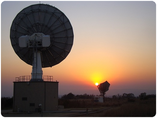
SANSA has a satellite imagery archive dating back to 1972 from the first Landsat satellite. The archive has grown over the years to over one million scenes including scenes from the following satellites: Landsat 2-5, 7; SPOT 1-5; SumbandilaSat; CBERS-2B; SAC-C; ERS-1 and 2 radar imagery. The majority of the imagery available within the archive includes images that fall within the footprint region of the ground receiving station of Hartebeesthoek. This footprint region covers most of the SADC region. This archive forms the part of the Earth Observation Data Centre (EODC) of the Department of Science and Technology (DST).
To see the amount of imagery per sensor on the catalogue, click here.
A description of the satellite imagery on our archives follows.
SumbandilaSat Multispectral
SumbandilaSat formerly ZASAT-002, is a South African micro earth observation satellite. Sumbandila, is from the Venda language and means "lead the way". The University of Stellenbosch, SunSpace and the CSIR (Council for Scientific and Industrial Research) were key players in constructing SumbandilaSat. SumbandilaSat was planned to be a research tool to investigate the viability of affordable space technology. The data can be used to, amongst others, monitor and manage disasters such as flooding, oil spills and fires within Southern Africa.
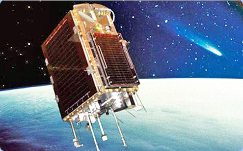
After losing control on the Z-axis and Y-axis reaction wheels engineers had to come up with an innovative solution so that the satellite could still capture imagery. The only drawback is that the imagery collected after this period of malfunction are difficult to geometrically correct however, SANSA's Earth Observation team has archived a wealth of imagery and managed to process a few scenes over RSA to level 3 (orthorectified). Sumbandila has ceased to capture imagery.
For more information visit
The Sumbandila Sat mission blog
Landsat Program
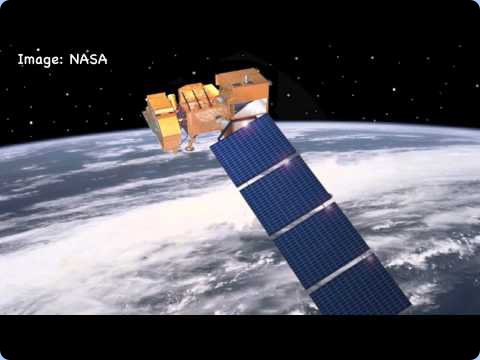
The Landsat program offers the longest continuous global record of earth observation data in the world. Landsat has continuously collected and archived imagery of the earth's surface since the 1970's. The SANSA Earth Observation catalogue contains Landsat archived data going back to the 70's. This data is freely available to students however it is also freely available to the whole globe thanks to the USGS.
Useful Landsat links
Landsat programme technical information
SPOT Image
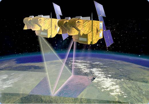
SPOT (Systeme Pour l'Observation de la Terre) is a high-resolution, optical imaging Earth observation satellite system operating from space. To date, there are 4 Spot satellites in orbit (SPOT 2, 4, 5, and 6). They offer a large choice of resolutions from 1.5 m to 1 km. In addition to this, these satellites offer good coverage thanks to their wide swath and accuracy. SPOT 5 for instance, has a coverage of 60 km x 60 km per scene. SANSA Earth Observation collect and archive SPOT data. The SPOT constellation is operated by Spot Image, a public limited company created in 1982 by the French Space Agency, Centre National d'Etudes Spatiales(CNES). Spot Image is a child company of EADS Astrium, an aerospace subsidiary of the European Aeronautic Defence and Space Company(EADS). All SPOT 2, 4 ,and 5 data on the SANSA Earth Observation catalogue are freely available to South African students. Tasked imagery is available at a cost. SANSA receive a full national coverage of SPOT data. From 2006 SANSA started receiving SPOT 5 data and creating the annual SPOT 5 mosaics. To date SANSA distribute the SPOT 5 national coverage to over 60 government departments and other stakeholders. From 2010 to 2013 hard drives called 'FUNDISA Disks' have been sent out to the major universities in South Africa. These disks come packaged with full SPOT 5 coverage of South Africa.
Useful SPOT links
Sample Imagery: SPOT 5 2.5m colour ortho (1143 mb)
SPOT 1-5 technical information
CBERS-2B HR CCD
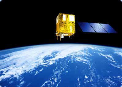
The China-Brazil Earth Resources Satellite program(CBERS) is a technological cooperation program between Brazil and China which develops and operates Earth observation satellites. The CBERS-2B imagery contained on the SANSA Earth Observation catalogue were captured using the Medium Resolution Camera (CCD). This camera records images in five spectral bands, with a 20 m spatial resolution and 120 km ground swath. It is possible to operate this camera both on nadir and off-nadir. This last capability allows the system to reduce the temporal resolution from 26 days (nadir operation mode) to three days (off-nadir operation mode). This data is freely available to South African students on the SANSA Earth Observation catalogue.
Useful CBERS-2B HR CCD links
CBERS-2B HR CCD technical information
SAC-C Multispectral
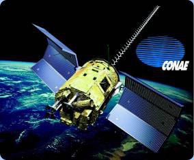
SAC-C is an international cooperative mission between NASA, the Argentine Commission on Space Activities (CONAE), Centre National d'Etudes Spatiales (CNES or the French Space Agency), Instituto Nacional De Pesquisas Espaciais (Brazilian Space Agency), Danish Space Research Institute, and Agenzia Spaziale Italiana (Italian Space Agency). This satellite has 11 onboard instruments from NASA and other contributors. SAC-C provides multispectral imaging of terrestrial and coastal environments. In addition to this the creators placed onboard instuments to study the earth atmosphere, ionsphere, geomagnetic field as well as measure space radiation. SANSA Earth Observation have SAC-C imagery which can be accessed by South African students, free of charge. The data has a number of issues. It requires some geometric correction.
Useful SAC-C Multispectral links
SAC-C Open archive (click on the English translation)
ERS-1 (CURRENTLY UNAVAILABLE)
European remote sensing satellite(ERS) was the European Space Agency's first Earth-observing satellite. ERS-1 is a radar satellite which carried an array of earth-observation instruments that gathered information about the Earth using a variety of measurement principles. The SANSA Earth Observation has a wealth of ERS-1 imagery which is free to students. The ERS-1 mission ended on the 10th of March 2000.

Useful ERS-1 links
References
Campbell, J.B. (2002). Introduction to remote sensing (3rd ed.). The Guilford Press. ISBN 1-57230-640-8.
About Resources
On this page you will find a variety of links with descriptions to earth observation resources, ranging from user guides, commercial catalogues to free data sources, other portals and softwares. Should you know of any other interesting links, please send them to us and we will add them to the resources webpage.


